Commercial Drone Services in Bakersfield, CA
Leading Drone Solutions for Businesses
Drones have transformed industries by offering cost-effective, high-quality aerial imaging, mapping, and surveying solutions. At X-Sky Drone, we provide state-of-the-art commercial drone services in Bakersfield, CA, helping businesses, property owners, and organizations leverage the power of UAV technology.
Whether you need aerial photography, 3D mapping, infrastructure inspections, real estate videography, or agricultural surveys, our licensed drone pilots ensure accuracy, efficiency, and safety in every project.

Why Choose X-Sky Drone for Commercial UAV Services?
We understand that selecting a drone service provider requires expertise, reliability, and FAA-compliant pilots. Here’s why businesses in Bakersfield, CA trust us:
Licensed & Insured FAA-Certified Drone Operators
Advanced Drone Technology with 4K & Thermal Imaging
Quick Turnaround Times & Competitive Pricing
Customized Solutions for Various Industries
Serving All of Kern County & Surrounding Areas
Our Comprehensive Commercial Drone Services
Aerial Photography & Videography
Commercial Properties
Real Estate Listings
Events & Promotions
Construction Progress Reports
Enhance marketing and media projects with stunning aerial shots. We provide high-resolution drone photography and cinematic 4K video footage for:
Drone Inspections for Infrastructure & Industrial Sites
Our drones perform safe, efficient inspections for:
Roof & Building Inspections – Avoid costly manual inspections with high-resolution drone imaging.
Solar Panel Inspections – Identify efficiency losses with infrared and thermal imaging.
Cell Towers & Power Lines – Access hard-to-reach areas without safety risks.
Real Estate Drone Services
We help realtors, brokers, and property managers stand out with aerial property visuals. Our services include:
High-Resolution Photos & 4K Video Tours
Virtual 360° Property Showcases
Aerial Neighborhood Views
Agriculture & Crop Monitoring
Boost farm productivity with precision agriculture drone services. We offer:
NDVI Crop Health Assessments
Irrigation & Soil Moisture Analysis
Livestock & Field Surveillance
Search & Rescue / Emergency Response
Drones play a crucial role in safety operations, including:
Search & Rescue Missions
Disaster Damage Assessments
Fire & Flood Response Monitoring
Industries We Serve in Bakersfield, CA
At X-Sky Drone, we cater to a wide range of industries, including:
Construction & Engineering – Aerial site monitoring, 3D modeling, and progress documentation.
Real Estate & Commercial Properties – High-quality aerial images & virtual tours for listings.
Agriculture & Farming – Crop analysis, livestock monitoring, and irrigation assessments.
Energy & Utilities – Solar panel, wind turbine, and power line inspections.
Telecommunications & Infrastructure – Cell tower & bridge inspections.
Public Safety & Emergency Services – Search & rescue, disaster response, and surveillance.
Why Commercial Drone Services Matter for Your Business
The use of drones is revolutionizing industries by:
🚀 Reducing Costs – Save on expensive labor and heavy equipment.
🎯 Enhancing Accuracy – High-precision imaging, mapping, and surveying.
⏳ Improving Efficiency – Faster project completion with real-time data.
🛑 Increasing Safety – No need for risky manual inspections.
Whether you’re in construction, real estate, agriculture, or infrastructure, drones can significantly improve operations and increase ROI.
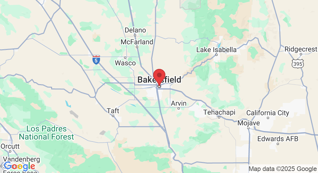
Service Areas – Bakersfield & Beyond
We proudly serve Bakersfield, CA, and nearby areas, including:
📍 Kern County – Delano, Wasco, Arvin, Tehachapi, Shafter, McFarland
📍 Surrounding Regions – Fresno, Visalia, Santa Clarita, Lancaster, and more
Wherever you need professional drone services, we’ve got you covered.
Book Your Commercial Drone Service in Bakersfield Today!
Ready to take advantage of cutting-edge drone technology? Whether you need aerial photography, mapping, inspections, or agriculture services, X Sky Drone is here to deliver high-quality results with expert precision.
📍 Address: 9530 Hageman Rd. Suite B #124, Bakersfield, CA 93312
📞 Phone: (661) 371-8021
🌐 Website: xskydroneservices.com
✅ Request a Free Quote Today!
COMPANY
SERVICES
LEGAL
FOLLOW US
📍 Location:
9530 Hageman Rd. Suite B #124,
Bakersfield, CA 93312
📞 Phone:
(661) 371-8021
🌐 Website: